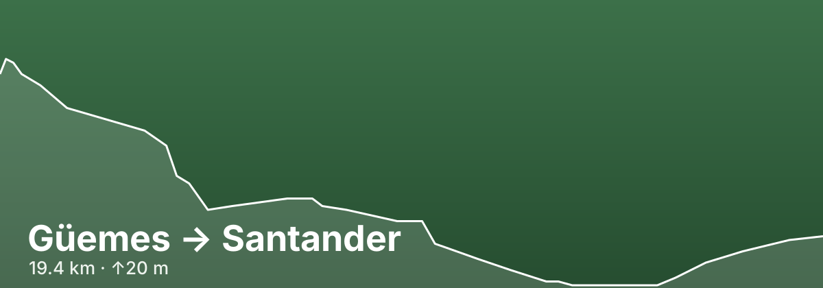
Güemes → Santander
A stage of the Camino del Norte
The final approach to Santander on the Camino del Norte covers just 19.4 km with barely any elevation change — 20 m up and 63 m down — making it a gentle and reflective close to the crossing of the Cantabrian coast. The route moves through outer suburbs and seaside neighborhoods into the centre of Santander, a port city with an attractive bay waterfront and a historic cathedral quarter.
- 19.4 kmDistance
- ↑20 m ↓63 mElevation
- EasyDifficulty
- 247 kmfrom route start
Highlights
- Santander bay waterfront
- Cathedral quarter
- Easy coastal finale
Towns on this stage
Find accommodation in Santander →Distances and elevation come from real OpenStreetMap footpath geometry. In the planner you can split or merge any stage to match your pace.