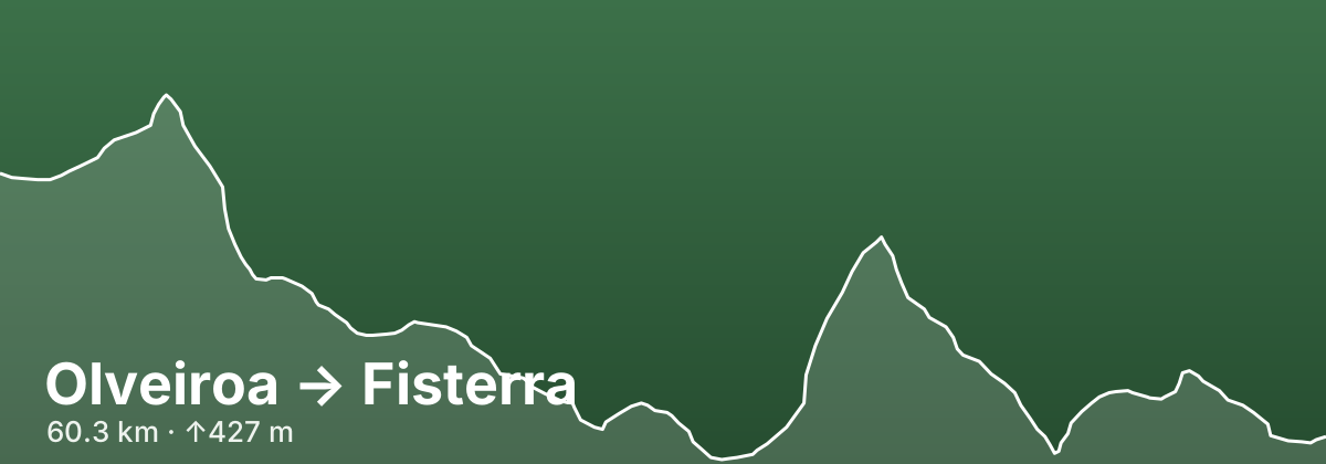
Olveiroa → Fisterra
A stage of the Finisterre–Muxía
The long final leg of the Finisterre–Muxía route covers over 60 kilometres from Olveiroa to Fisterra and is typically walked over two days, descending 679 metres as it moves through the Costa da Morte — the 'Coast of Death', a wild stretch of Galician coastline historically known for its shipwrecks and dramatic cliffs — before arriving at the lighthouse of Cabo Fisterra. Considered the westernmost point of the known world in medieval geography, the cape has been a symbolic destination for pilgrims since antiquity, and arriving at the lighthouse above the Atlantic is one of the most powerful moments in all Camino walking.
- 60.3 kmDistance
- ↑427 m ↓679 mElevation
- ChallengingDifficulty
- 51 kmfrom route start
Highlights
- Cabo Fisterra lighthouse
- Costa da Morte cliffs and Atlantic views
- Symbolic 'end of the world' arrival
Towns on this stage
Find accommodation in Fisterra →Distances and elevation come from real OpenStreetMap footpath geometry. In the planner you can split or merge any stage to match your pace.