Viana do Castelo → Caminha
A stage of the Portugués Coastal
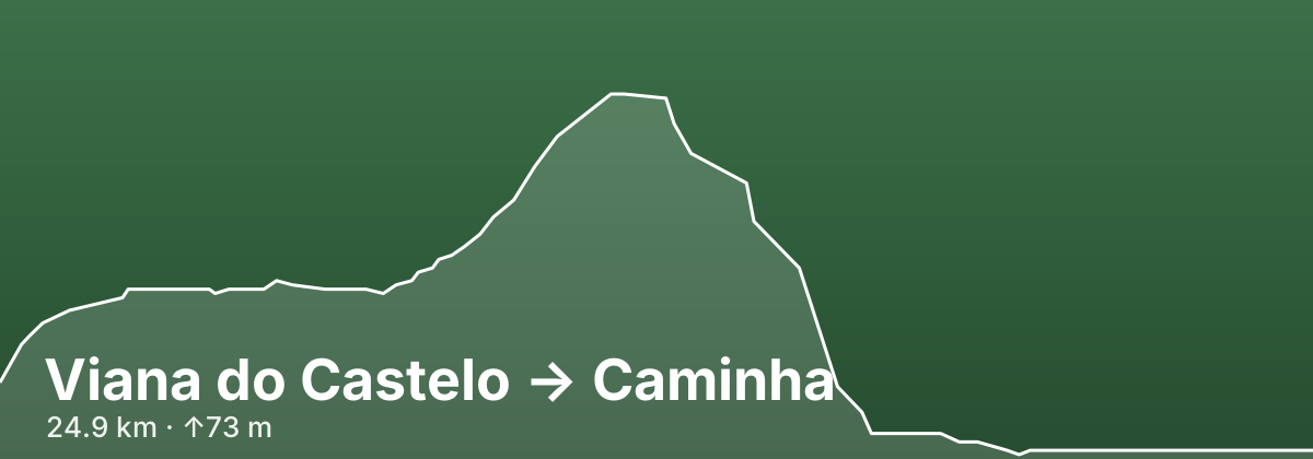
The last Portuguese stage of the Coastal route covers roughly 25–27 km from Viana do Castelo to Caminha, at the mouth of the Minho. Leaving Viana you choose between two lines. The official, yellow-arrowed path climbs out past the Santos Mártires church around the flank of Monte de Santa Luzia, then rolls through Areosa, Carreço and the woods above Afife on cobbled lanes between stone walls — the hilliest day of the Coastal route in Portugal. The unwaymarked seaside alternative follows the North Beach, the Montedor headland, boardwalks and the Ecovia Litoral Norte instead. Both meet again in Vila Praia de Âncora (around km 18), after which a flat final 8–9 km runs along the shore through Moledo and down a cycle path beside the railway into Caminha's main square by the Clock Tower.
- 24.9 kmDistance
- ↑73 m ↓89 mElevation
- ModerateDifficulty
- 76 kmfrom route start
Highlights
- Montedor headland at Carreço: the northernmost lighthouse on mainland Portugal (28 m) and its restored windmills
- Former Benedictine convent of São João de Cabanas in a shady stream valley near Afife
- Dólmen da Barrosa in Vila Praia de Âncora, a Neolithic passage grave classed as a National Monument in 1910, plus the 17th-century Forte da Lagarteira on the seafront
- Moledo beach facing the Ínsua fort, a 17th-century star-shaped fortress wrapped around a 14th-century Franciscan convent on an islet off the Minho mouth
- Caminha's old town: the 15th-century Torre do Relógio gate, the 16th-century fountain in Praça Conselheiro Silva Torres and the Igreja Matriz, with Monte de Santa Tecla across the river in Galicia
Tips
Stock up on water and snacks in Viana or Carreço — the official inland line skirts around Afife and its services. The seaside variant is flatter but has no yellow arrows; if you take it, walk into Âncora along the beach rather than the hard shoulder of the busy N-13. For slower walkers, Albergue Casa do Sardão on Avenida de Paço just past Carreço (around km 9) breaks the day; Vila Praia de Âncora has private hostels but no municipal albergue; and Caminha's pilgrim albergue on Avenida Padre Pinheiro (around 27 beds, run with the Viana do Castelo Friends of the Camino association) fills early in summer. Caminha is about 160 km from Santiago, a popular starting point that comfortably clears the 100 km minimum. If you plan to cross the Minho by boat the next morning, check the water-taxi times when you arrive.
Towns on this stage
Find accommodation in Caminha →Distances and elevation come from real OpenStreetMap footpath geometry. In the planner you can split or merge any stage to match your pace.